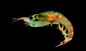
 |
The CCAMLR krill synoptic survey |
|
The CCAMLR krill synoptic survey |
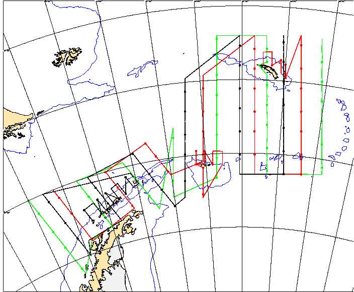
At present there is an overall cruise track plot which shows how the interleaving transects will be arranged. The station plot below is calculated on the assumption that each ship stops at midnight and midday to undertake an RMT and a CTD. Two hours have been allowed for each daytime station. The time allocated to the nighttime stations vary according to the length of darkness; this depends on the position and date. Daylight times are provided here. The speed between stations on the north/south transects is 10.5 knots. On the transect heads the ships do not stop to sample and the speed has been increased to 12 knots. On the present plan the green ship (UK) carries out 34 stations, the red ship (USA) carries out 36 stations in the survey, the black ship (Japan) carries out 35.
During the meso-scale surveys (USA and Japan) acoustic transects
will be steamed using the same protocol as the large scale sampling ie
the ship will not survey during the night but will stop during the day
for a 2 hour net sampling period around local midnight. NB this is a significant
change to the previous version of the website. The Waypoints and Station
Positions are being recalculated at present and can be recognized by bearing
an October date at the foot of the relevant pages.
| Introduction | Itinerary | Station positions | Cruise tracks | Planning Meeting | Sampling Protocols | Participants | Background papers | Contents |
This page was last edited on 15 October 1999