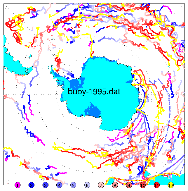
The pictures below (click for a larger version) shows the buoy data we have between 1995 and 1999. Each dot is a report; they are colour coded by month as shown on each plot.
We have older data too, but I haven't got around to processing it yet... also 1995, 6, and 7 are patchy. I'm not sure why.
This data extracted from the metlog table get_perl_zbuoy.
If you are interested in buoys, you may care to visit the WMO/IOC Data Buoy Cooperation Panel Server, which has various useful bits of information, including a map of the distibution in the Antarctic Area, though not necessarily very up-to-date.
1995:
1996: 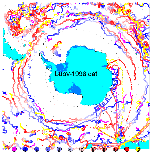
1997: 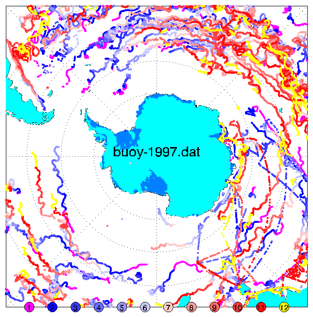
1998: 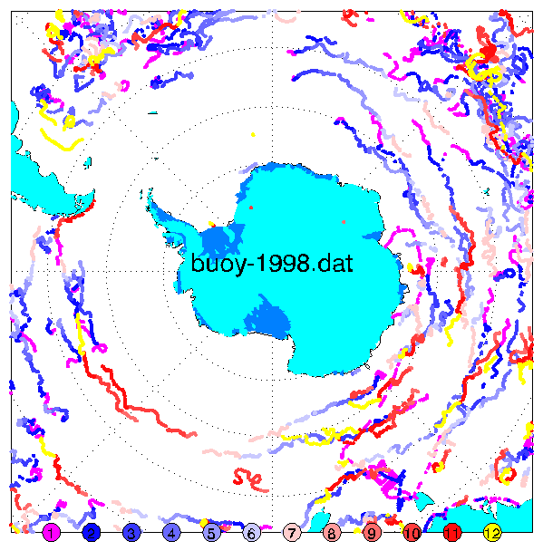
1999: 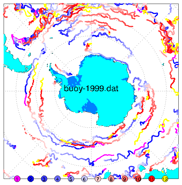
Created: 18 March 1997, by WMC