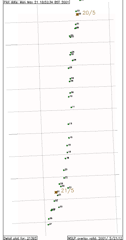
Lat-lon gridlines on the map are at 0.1 degree intervals. Positions are plotted. Day/Month in blue, hours in black.
Now we have 2 buoys again so there are two piccies.